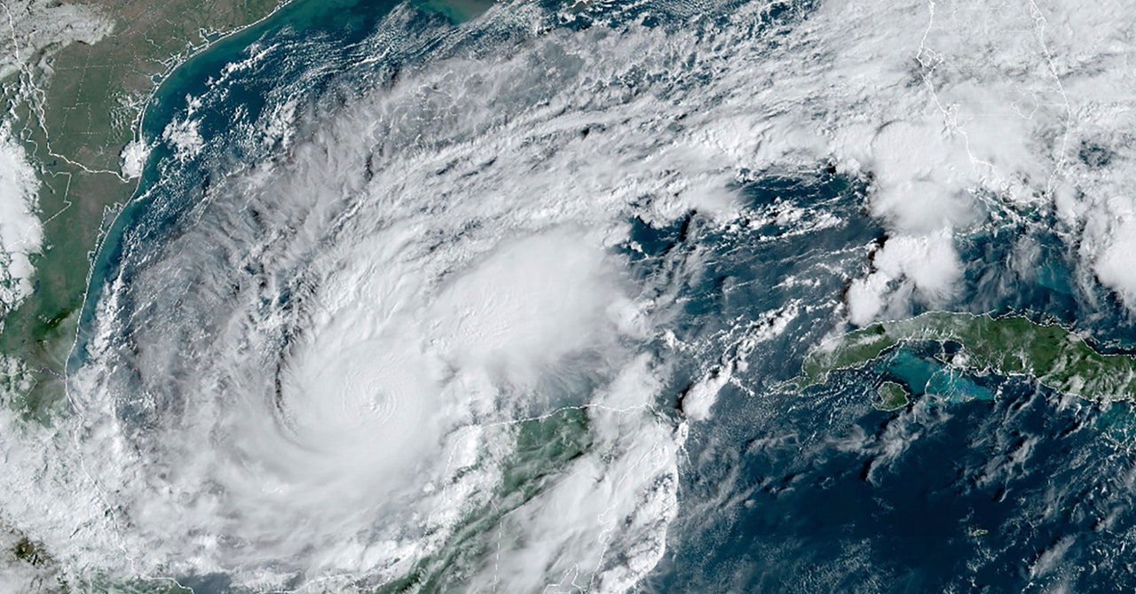
Milton’s enormous storm surge has also highlighted the growing danger from water. More intense hurricanes are pushing higher storm surges due to sea-level rise. These “hurricanes on steroids,” as Olson calls them, are also dumping larger amounts of rain inland, just as Hurricane Helene did in North Carolina late last month. Between 2013 and 2022, flooding due to heavy rainfall accounted for a whopping 57 percent of hurricane deaths, with storm surges responsible for another 11 percent, according to the National Hurricane Center. Wind caused only 12 percent.
The International Hurricane Research Center is known for its “wall of wind,” a hangar of 12 giant yellow fans that can generate 157 mph winds to test the resilience of building materials. Now it has a $13 million federal grant to design and prototype a new facility with 200 mph fans and a 500-meter wave pool, to test the effects of windier, wetter hurricanes.
“That’s real-world. You don’t get just wind, just water, just wave. You get all three,” Olson says.
Some meteorologists say we need a different scale entirely. Carl Schreck, a research scientist at North Carolina University, has proposed a Category 1–5 scale based on sea-level pressure to better incorporate water. A low pressure boosts both wind speed and storm size, and larger storms tend to have bigger surges and more rain. A Category 5 would be a hurricane with a pressure lower than 925 millibars. By this measurement, Milton would have remained a Category 5 until mid-Wednesday rather than vacillating between 4 and 5.
“Pressure is easier to measure, easier to forecast, and matters more for damage, but NHC, through inertia, they’re tied to the current system, and they think changing it would confuse people, unless there’s a silver bullet,” Schreck says. “And there is no silver bullet.”
No single number can capture all hurricane impacts. That was demonstrated by Helene, which made landfall in Florida as a Category 4 but unleashed “biblical” rainfall hundreds of miles inland in Georgia, South Carolina, and North Carolina. The storm killed more than 200 people, half of them in western North Carolina, where mountain valleys channeled the rainfall into devastating floods. The impact was compounded by a tropical storm that showered the Carolinas with historic rainfall two days before Helene.
Before Helene hit, forecasts compared its rainfall to hurricanes Frances and Ivan, which brought up to 18 inches of rain to some parts of North Carolina in 2004, triggering 400 landslides and killing 11. They also cited a record-setting flood in 1916, warning that the “impacts will be life-threatening.” The storm two days before Helene was described as a “once-in-a-thousand-year event.” But the fact that so many people died nonetheless shows a “communication disconnect” between our storm warning system and the public, says Schreck, who lives in Asheville and was without power and water for days.
He’s also helped develop an “enhanced rainfall” scale, where a Category 5 event pours five times as much rain as an area would get once every two years on average, a Category 4 dumps four times as much, and so on. The predicted rainfall would have made Helene a Category 3 extreme rainfall event in the mountains of North Carolina rather than just a Category 4 hurricane on the coast of Florida.

